5:30 PM Sunday, October 23, 2022
The atmosphere continues to destabilize in the Northland this afternoon and this will eventually lead to the development of scattered fast moving showers and thunderstorms from about mid-evening through early Monday morning.
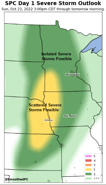
Thunderstorms that do develop tonight will have the potential to produce heavy downpours and frequent lightning in the Northland, and isolated strong to severe thunderstorms are also possible with a potential for hail up to 1″ in diameter and wind gusts to 60 mph.
A narrow line of gusty showers may develop Monday morning while lifting quickly to the NE across the Northland into early Monday afternoon. This band of rain would be associated with a cold front, once that front passes, rain chances go way down for Monday afternoon, but some rain could return Monday night mainly over parts of northwest Wisconsin.
Temperatures will remain on the mild side tonight with lows only in the 50s to around 60 in the Northland, and Monday’s temperatures will be at their warmest mainly before Noon (60s to around 70) then cooler air will arrive for Monday afternoon, but nothing too terribly cold for late October.
It will be turning cooler (really just closer to normal for this time of year) midweek with highs ranging from the lower 40s to around 50 degrees, but a warming trend with highs in the 50s to around 60 degrees is possible once again from around October 28th to November 1st.

18z NAM 3km model radar forecast through 1 PM Monday.
Note: Thunderstorm and rain chances are highest in the Northland tonight, but a few showers are still possible during the day Monday.

Rainfall totals ranging from around 0.10″ to 0.50″ are expected in northeast Minnesota and northwest Wisconsin through Monday afternoon, but there will be pockets of higher rainfall totals ranging from 0.50″ to 1″+.

This fall storm will also have a snowy side to it, but all of this snow will remain well to the west of the Northland tonight and Monday.

A strong low-pressure system over south-central South Dakota late this afternoon will lift northeast reaching northeastern North Dakota around 7 AM Monday, after that will see this low move along the Manitoba/Ontario province border Monday afternoon.
One thing this strong system will produce are gusty winds in the Northland, with southerly winds tonight becoming more southwesterly during the day on Monday. Wind gusts of 30 to 45 mph are likely at times through Monday afternoon.

A large and strong system covering the Rockies today.
Goes-16 water vapor loop from Sunday, October 23, 2022 (loop time ends 5 PM CT)

HRRR model wind gust forecast through 7 PM Monday.

Strong moisture transport has been occurring all day in the Northland out ahead of the strong system off to the west.
Strong moisture advection will continue tonight thanks to a potent low-level jet coming out of the south with wind speeds of 50-60+ knots.

Dew points have climbed into the low to mid 50s in much of Minnesota and Wisconsin this afternoon which is pretty humid for late October. This late season humid air mass will stick around into Monday morning before a front blows through and sweeps this moisture out of our area.

Watch the progression of drier air (blue/purple colors) which will lift quickly to the NE out of southwest Minnesota Monday morning.

Big time warmth across the Central Plains today with widespread 80s to near 90-degree temperatures, and even here in northeast Minnesota and northwest Wisconsin we’re seeing temperatures well into the 70s this afternoon with cooler temperatures closer to Lake Superior.

Widespread record to near record warmth occurring in the upper Midwest, Great Lakes and Central Plains today.
Red circles – New daily record high set for October 23
Orange circles – Tying the record high for October 23

A large area of +15 to +25 degree temperature anomalies stretching from Kansas to Minnesota this afternoon, while farther to the west we’re seeing temperatures which are running about -20 degrees below normal.

Warmer than normal temperatures are likely in the Northland this week, although the greatest above normal anomalies will occur on Monday (24th), and possibly again in the 28th-29th time frame.

Thanks for reading!
Tim
Leave a Reply