6:08 PM Thursday, November 3, 2022
- A strong cold front moves through the Northland tonight with areas of rain showers and drizzle along with a few embedded thunderstorms with heavier downpours possible especially over northwest Wisconsin
- A little snow or a rain/snow mix is possible late tonight/early Friday morning especially over north-central Minnesota
- Turning colder from W-E with highs Friday more typical of where we should be in early November (upper 30s to low-mid 40s)
- A strong but quick moving system could bring some rain or a wintry mix of precipitation to parts of the Northland on Saturday with minor snow accumulations possible
- A windy weekend ahead
- A wet system could affect the Northland next week (Tuesday through Friday) with occasional rain, a few thunderstorms, and possibly some snow late next week
Rainfall totals ranging from around 0.05″ to 0.25″ are likely in parts of the Northland tonight.

18z NAM 3km model radar forecast through 7 AM Friday.
Rain (green)
Snow (blue)

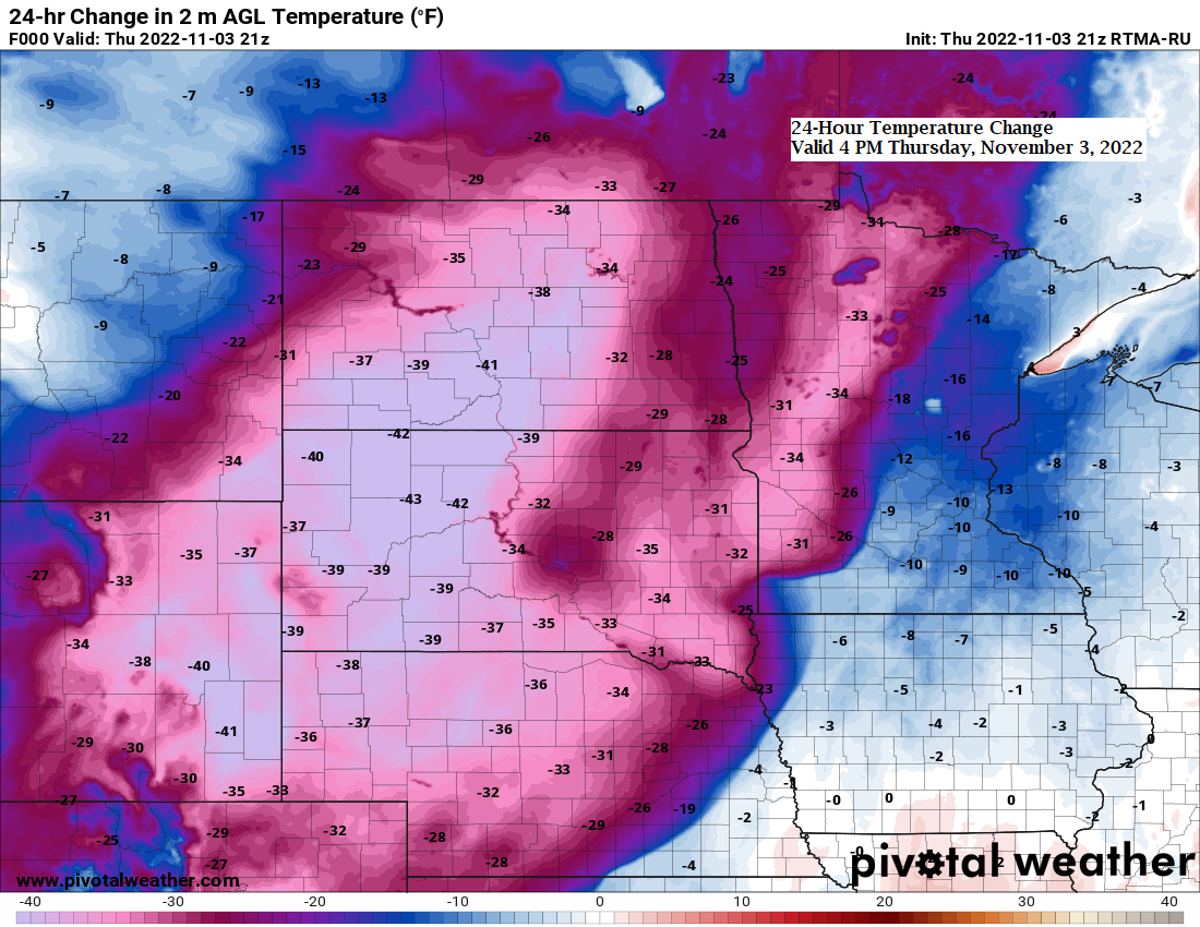
There’s no doubt that temperatures will be turning much cooler through this weekend, but actual temperatures will only fall back toward more seasonal levels in the Northland (highs in the upper 30s to upper 40s) but looking ahead to next week features another stretch of abnormally warm weather with highs reaching the 50s and possibly into the 60s in much of the Northland during the middle of next week.

A more active weather pattern is developing across parts of the U.S. thanks in part to a strong temperature contrast which is helping to increase the jet stream with winds of 120+ knots noted over parts of the southwest and western U.S. today.

A strong upper-level trough covered the Rockies today with warm and humid air surging north across the Plains out ahead of this trough today.
Goes-16 water vapor loop ending 3:40 PM Tuesday, November 3, 2022.

Temperatures ranged from the teens and 20s in parts of southwest Canada today to the 30s in the western Dakotas to the 70s across the Central and Southern Plains.

WINDY WEATHER THIS WEEKEND
A strong low-pressure system passing southeast of the Northland on Saturday could bring a period of gusty northeast winds to areas near Lake Superior, northwest Wisconsin and the Twin Ports Saturday morning through about mid-afternoon Saturday with wind gusts of 20 to 35 mph possible for a few hours on Saturday.

A secondary low passing well to the north of Minnesota could lead to strong west to southwest winds in our area on Sunday with wind gusts of 30-40+ mph possible over much of the Northland.

SATURDAY’S LOW
A strong low-pressure system and upper-level trough will lift quickly to the N/NE out of the Southern Plains on Friday with this system forecast to reach central Lake Superior by late Saturday afternoon.
Some rain is possible on Saturday over northwest Wisconsin and possibly into eastern and northeastern Minnesota, and it does look like the atmosphere will cool enough for there to be some snow or a rain/snow mix for a few hours on Saturday over parts of the Northland.
This doesn’t look like it will be a huge snow event anywhere in the Northland on Saturday since this system will move through quickly, but this system does have a potential to produce a burst of moderate to even heavy snowfall rates over a small portion of the Northland on Saturday.

Western portions of the Northland should stay dry on Saturday with any precipitation staying farther to the east.
18z NAM 3km model radar forecast valid 1 AM Saturday to 7 PM Saturday.
Rain (green)
Snow (blue)
Wintry Mix (pink)

Snowfall accumulations of a trace to 2″ are possible Saturday in parts of northeast Minnesota and far northwest Wisconsin.

| Precipitation Anomalies since September 1, 2022 Twin Cities, MN: -5.29″ below normal Grand Forks, ND: -3.89″ below normal Eau Claire, WI: -3.26″ below normal St. Cloud, MN: -3.25″ below normal Duluth, MN: -3.09″ below normal International Falls, MN: -2.32″ below normal |
November 3rd Drought Update
Minnesota
6% of the state is in Extreme Drought, up from 4% last week.
19% of the state is in Severe Drought, up from 16% last week.
51% of the state is in Moderate Drought, up from 44% last week.
79% of the state is Abnormally Dry, up from 78% last week.
Note: 20% of Minnesota is currently drought-free, this is down from 65% on August 2nd, 2022.

Wisconsin
3% of the state is in Severe Drought, unchanged from last week.
27% of the state is in Moderate Drought, up from 24% last week.
66% of Wisconsin is Abnormally Dry, unchanged from last week.
Note: 33% of Wisconsin is currently drought-free, this is down from 51% on August 2nd, 2022.

0.02% of the Midwest is in Exceptional Drought, unchanged from last week.
4% of the Midwest is in Extreme Drought, up from 3% last week.
17% of the Midwest is in Severe Drought, unchanged from last week.
48% of the Midwest is in Moderate Drought, down from 50% last week.
81% of the Midwest is Abnormally Dry, down from 82% last week.
Note: 18% of the Midwest is currently drought-free, this is down from 61% on August 2nd, 2022.

1 week drought monitor class change for the Northland — November 1, 2022, compared to October 25, 2022.
Yellow – 1 class degradation
Gray – No change

Drought Severity Index for the period ending October 29, 2022.
*Northwest Wisconsin needs an additional 2″ to nearly 3″ of precipitation to end the drought.

Soil Moisture Anomaly as of November 2, 2022.
Orange and Red – Dry
Greens – Moist

Thanks for reading!
Tim
Leave a Reply