6:36 PM Tuesday, July 23, 2024
A warming trend is approaching.
Wednesday will be cooler than average, yet temperatures will be slightly warmer than those experienced on Tuesday, with highs around 70 near Lake Superior and into the 70s throughout the rest of the Northland.
High temperatures in the 80s are anticipated later this week and into much of next week, with the possibility of reaching 90 degrees in some areas of the Northland for at least one or two days this weekend or next week. Humidity is also expected to rise later this week, with dew points returning to the 60s and possibly up to 70 degrees by the weekend. This humid air mass may persist throughout much of next week, according to current projections.
Showers and thunderstorms may occur sporadically this weekend and into early next week, with the majority of this weather activity primarily impacting northern Minnesota.
It’s worth mentioning that temperatures tonight, and again on Wednesday night, will be cool with lows in the 40s and 50s. However, they won’t be cold enough to raise concerns about frost.
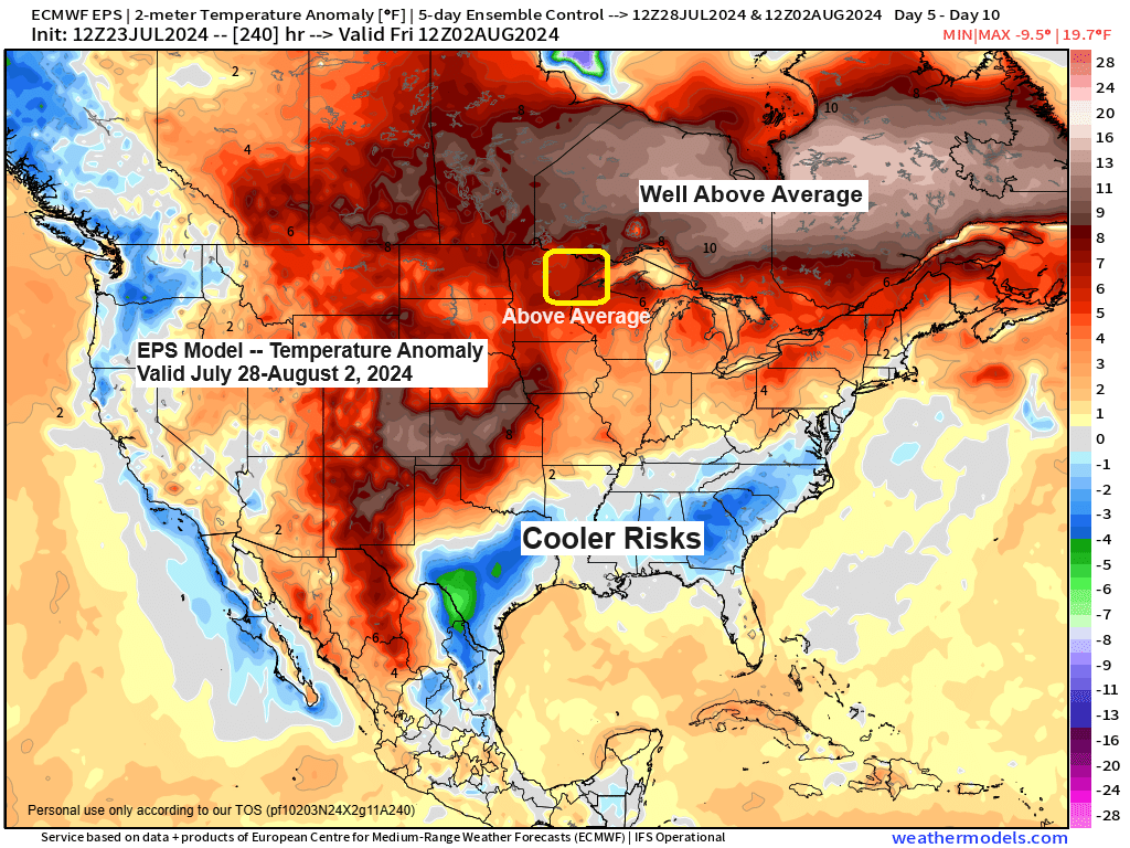
Here’s the 10-day temperature outlook for Duluth.

Make a one-time donation
Make a monthly donation
Make a yearly donation
Choose an amount
Or enter a custom amount
Your contribution is appreciated.
Your contribution is appreciated.
Your contribution is appreciated.
It’s a cool late July afternoon across much of the Northland, with temperatures predominantly in the 60s, though it’s reaching into the 70s from the Brainerd Lakes to the Siren area.
Today, the cool temperatures have been accompanied by gusty winds from the northeast, with gusts ranging from 15 to 30 mph near Lake Superior.

This afternoon, temperatures in the Northland were ranging from 5 to 15 degrees below average, with the most significant deviations occurring around the Twin Ports and the South Shore of Lake Superior.

Snow is predicted for tonight into Wednesday across parts of northern British Columbia in western Canada. Meanwhile, the Northland region should not expect any snow in the near future.

Observe the intense heat in Montana extending into regions of Alberta and Saskatchewan, Canada, this afternoon, with temperatures varying between approximately 95 to 105 degrees Fahrenheit. This is roughly 10 to 15 degrees above the typical range for this region during this period of the year.

Today’s upper-level pattern is characterized by a northwest flow and troughing over the upper Midwest and western Great Lakes, while an upper-level ridge spans the southwest U.S., and another ridge extends over the Atlantic Ocean.

As the week progresses, we are observing a slight shift in the weather pattern, with a west or southwest flow developing across the upper Midwest and western Great Lakes. Concurrently, troughing is establishing over western Canada and the Pacific Northwest. The current weather pattern might not last long, as there’s a possibility that a ridge will attempt to re-establish itself in the Pacific Northwest and Western Canada in the coming week. This would result in the upper Midwest reverting to a west or northwest flow in the coming week.

Thanks for reading!
Tim
Leave a Reply