A cool pattern persists through the weekend, with a strong trough and upper low settled over Ontario and the Great Lakes, maintaining a northwest flow aloft across the Northland.
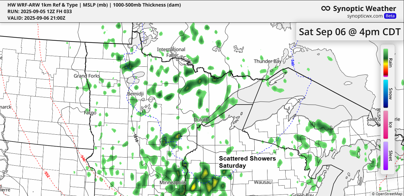
A few showers are expected to continue this evening and will return on Saturday, but widespread, persistent rain like what occurred on Thursday is unlikely for both tonight and Saturday.
Temperatures tonight and Saturday night in the Northland will drop into the 30s and 40s, with frost likely in some areas both nights. Duluth might see patchy frost as well, but this will depend on sky conditions—if clouds linger, temperatures could stay warm enough to prevent frost.
High temperatures will range from the 40s to 50s on Saturday, and from the 50s to lower 60s on Sunday, making Sunday the warmer day of the weekend.
Today, the 500mb heights dropped to 530 meters near the mid and upper-level low in central Ontario, which is quite impressive for early September.
850mb temperatures in northeast Minnesota and northwest Wisconsin ranged from about 0 to +2°C, and they likely won’t increase much through Sunday morning.

Record low high temperatures were matched or exceeded in the Northland on September 5th.
Hibbing, MN
New record: 50
Old record: 54 set in 2017 and 1956
Duluth, MN
New record: 52
Old record: 52 set in 1904
International Falls, MN
New record: 53
Old record: 53 set in 1965
Ashland, WI
New record: 53
Old record: 56 set in 1926
Brainerd, MN
New record: 57
Old record: 57 set in 1962 and 1956
The strongest wind gusts recorded on September 5, 2025.
Duluth, MN: 38 mph
Brainerd, MN: 37 mph
Hibbing, MN: 37 mph
Ashland, WI: 35 mph
International Falls, MN: 35 mph
Breezy conditions are expected again on Saturday, though not as intense as Friday. Wind gusts are anticipated to range from 15 to 25 mph.

Subscribe to continue reading
Become a paid subscriber to get access to the rest of this post and other exclusive content.