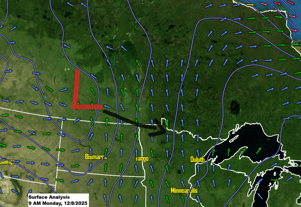
This morning in northeast Minnesota, a weak wave moving east has brought some flurries and light snowfall. With the cold air settled in, just a bit of lift and moisture in this chilly airmass is enough to create some flurry activity, but the snow isn’t expected to add up to much.
A stronger system moving out of southern Saskatchewan is expected to bring a few inches of snow to much of the Northland tonight.

Radar loop ends 9:18 AM Monday, December 8, 2025.
Note: Snow is expected to start in Duluth this evening between 6 and 8 PM and taper off around 1 AM on Tuesday.
HRRR model simulated radar forecast valid 1 PM Monday to 2 AM Tuesday.

Widespread snowfall of about 1 to 2 inches is expected across much of the Northland tonight, with some spots seeing up to 3 inches. The snow should last no more than around 6 hours, give or take.

A Winter Weather Advisory will be in effect from late Monday afternoon through early Tuesday morning for northern Minnesota, including the North Shore and Arrowhead regions.


…Weather Alerts for Tuesday’s system…
- Winter Storm Watch highlighted in blue
- High Wind Watch highlighted in orange
The winter storm watch will likely be upgraded to an advisory or possibly a warning for some areas later today.

There are still some big disagreements among the computer models about the track of Tuesday’s system, but it seems the trend is leaning toward the low taking a more southerly path, closer to track 2 on the map or somewhere between tracks 1 and 2.
This means we might see less snow across much of northeast Minnesota and northwest Wisconsin on Tuesday afternoon and night, though a few inches are still possible, including in Duluth.
I’ll be releasing a snowfall forecast for Tuesday’s system later today.

Leave a Reply