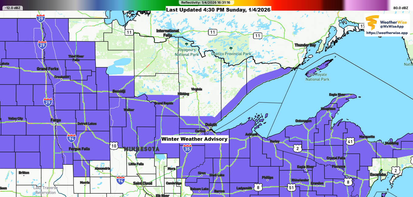
This afternoon brought a band of heavy snow mixed with sleet and ice pellets moving east-northeast across parts of northeast and east central Minnesota into northwest Wisconsin. This wintry mix formed on the eastern side of a 700mb trough over the upper Midwest, with an area of stronger lift developing just ahead of it.
The heaviest precipitation rates will continue to be focused mainly over the Arrowhead of Minnesota this evening while elsewhere in the Northland precipitation should be lighter and more scattered in coverage. By late tonight, this whole trough will shift east of our area which will end the precipitation. However, patches of fog and freezing drizzle will probably stick around even after the heavier, steadier precipitation eases up.
Despite surface temperatures in the Northland staying well below freezing today, lingering in the mid-teens to low 20s, a layer of warmer air overhead caused some areas to see more sleet and ice pellets than snow. In other places, the precipitation started as snow but soon turned into sleet or ice pellets.

Radar loop ends 4:24 PM Sunday, January 4, 2026.
Duluth can expect less than an inch of additional snow this evening, while areas farther north and east may see another 1 to 3 inches.
Note: As of 4 PM today, the National Weather Service reported 0.3 inches of snow in Duluth, so it looks like totals will come in lower than the 1-2 inches I had forecast for this event.

Roads in northeast Minnesota and northern Wisconsin are completely to partially covered in snow and ice as of late Sunday afternoon.


…2nd system Monday night-Tuesday morning…
Another wave of freezing rain, sleet, and rain is set to move east-northeast across parts of central and eastern Minnesota into central Wisconsin from Monday night into early Tuesday morning.
Note: It looks like most of this precipitation will pass south of the Northland, including Duluth and Superior.

Where that band of precipitation sets up Monday night, there could be upwards of 0.10 inches of ice accumulation.

Later this week, a system might develop over the southern Plains, but confidence in its track and intensity is lower than usual. This is because it may require the phasing of different pieces of energy for a stronger system to form, and computer models generally struggle to handle this type of pattern accurately three to five days in advance.
Right now, it looks like this system will pass too far southeast of the Northland to bring much snow to our area Friday into Saturday. However, things could still change, so be sure to check back for updates over the next few days.

Leave a Reply