Another winter storm is set to impact the Northland through Saturday. Much like Thursday’s storm, it will bring a mix of snow, sleet, and freezing rain.
Freezing rain is most likely in northwest Wisconsin and far eastern Minnesota, with the chance for significant icing from late tonight through mid-morning Saturday.
Duluth: Snow and sleet are forecasted late tonight and will continue through Saturday, tapering off late in the afternoon or early evening. The heaviest snow will fall from early to mid-morning Saturday, leading to the most accumulation. While snow may linger into the afternoon, it will have difficulty accumulating. Northeast winds will gust between 20 to 40 mph tonight until Saturday morning, then ease and shift to the north-northwest. Temperatures will remain steady tonight between 28 and 32 degrees and rise to about 31 to 33 degrees Saturday afternoon.
Duluth could see one of its top three highest snowfall totals Saturday, though it’s unlikely to break the top two spots.
The top three highest snowfall totals recorded in Duluth, Minnesota on April 4th.
1: 8.5 inches (2003)
2: 6.4 inches (1932)
3: 4.4 inches (1955)
Note: Snowfall in Duluth for the 2025-2026 season has reached 79 inches, just 2.5 inches below average. So far this year, we’ve had nearly 4 inches of precipitation (3.99 inches), which is 0.37 inches above normal as of April 3rd.
Here’s the updated snowfall forecast, valid through 10 PM on Saturday.
Duluth could see between 3 and 5 inches of snow by Saturday evening.
The heaviest snowfall is expected from north-central Minnesota to the Arrowhead, with 7 to 10 inches likely, and some spots could even see more than 10 inches.

NAM 3km model simulated radar forecast through 1 AM Sunday.
Snow – blue
Mix (sleet/freezing rain) purple and pink
Rain – green

If you’d like to support the work I do here, you can do so below.
Make a one-time donation
Make a monthly donation
Make a yearly donation
Choose an amount
Or enter a custom amount
Your contribution is appreciated.
Your contribution is appreciated.
Your contribution is appreciated.
…Winter Weather Headlines…

…Freezing Rain Potential…
Ice is expected to accumulate between 0.1 and 0.25 inches or more from late tonight through mid-morning Saturday, stretching from far eastern Minnesota into much of northern Wisconsin, south of Lake Superior. Power outages and tree damage could occur, especially where around a quarter inch or more of ice builds up.

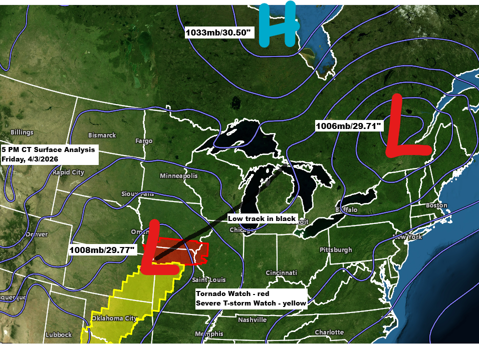
A strong mid and upper-level low over western South Dakota this afternoon will move east-northeast across the upper Midwest on Saturday. The heaviest snow accumulation is expected near and north of the 500mb low’s path, putting much of north-central Minnesota right in the sweet spot for this storm.

RGEM model 500mb forecast through 1 AM Sunday.

Goes-19 water vapor loop ending 6:21 PM CT Friday, April 3, 2026.

Leave a Reply