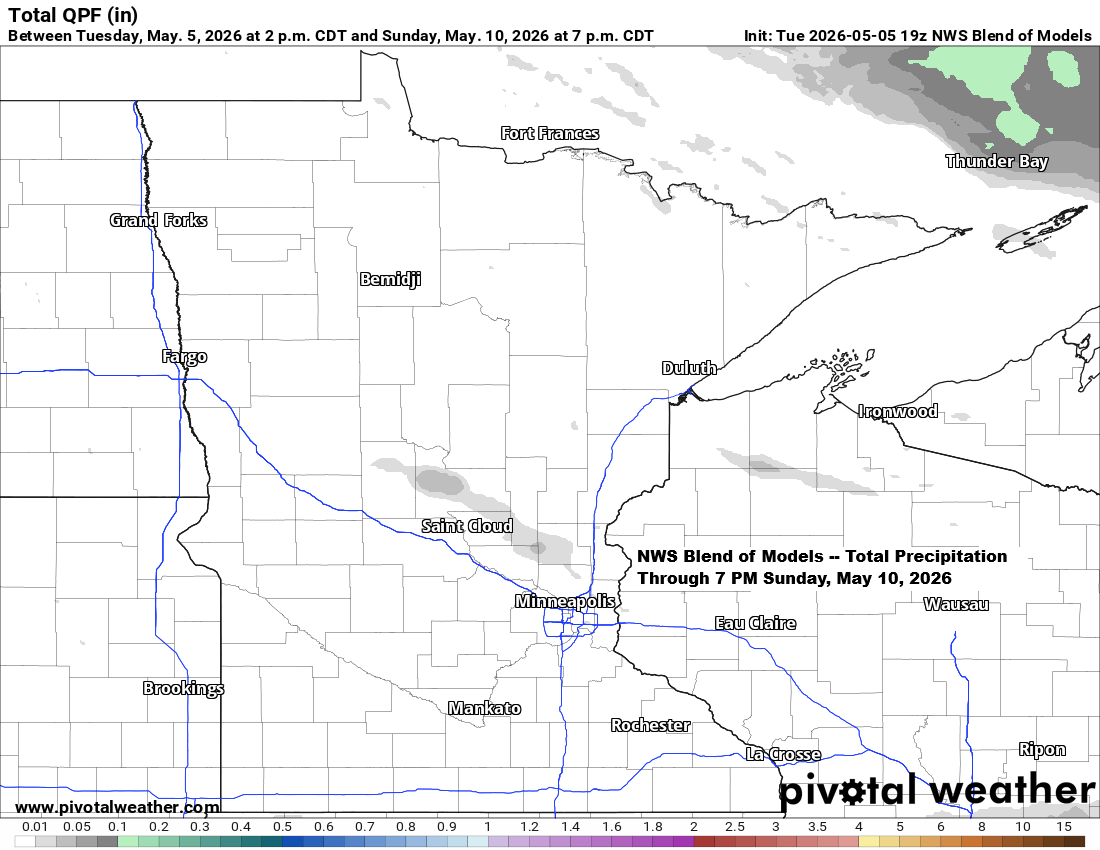
The Northland will remain in a relatively dry pattern through the weekend, though a few brief snow or rain showers could pop up on Wednesday, and there’s a chance of some light showers early Saturday morning. No widespread or significant precipitation is expected in the area through Sunday.
Note: On May 5th, 2026, the Duluth Airport reported a trace of snow, marking the eighth straight month with at least some snowfall in the city. The season’s first trace was observed on October 23rd, 2025.
High temperatures in the Northland on May 5th were about 15 to 25 degrees below normal, with readings ranging from the mid-30s to the low and mid-40s.
No record cold high temperatures were set today, but it was still a chilly day for early May.
International Falls, MN
High: 35
Departure: -25 degrees
Record lowest: 32 set in 1989
Hibbing, MN
High: 39
Departure: -20 degrees
Record lowest: 33 set in 1944
Duluth, MN
High: 41
Departure: -18 degrees
Record lowest: 33 set in 1944
Brainerd, MN
High: 42
Departure: -22 degrees
Record lowest: 37 set in 1944
Ashland, WI
High: 43
Departure: -17 degrees
Record lowest: 34 set in 1944
Highs on Wednesday will be similar to today, with temperatures in the 30s and low 40s. Thursday will be slightly warmer, with more 40s across the area, and by Friday, highs will climb back into the 50s and lower 60s.
Frost opportunities will arise overnight and in early mornings this week and early next week due to low temperatures in the 20s and 30s.

Today’s 850mb temperatures in northeast Minnesota and northwest Wisconsin ranged from about -5 to -8°C, nearly -2 sigma according to GFS model data. Meanwhile, 500mb heights were around 534 to 538 decameters, also about -2 sigma. All in all, it’s a pretty impressive burst of cold air for late spring.
This chill is caused by a strong upper low near southern James Bay, Canada, sending north to northwest winds aloft into the upper Midwest. The airmass is traveling from regions farther north where temperatures are in the single digits to the 20s, bringing the cold along with it.
The 850mb temperatures in our area will stay about the same on Wednesday and Thursday, with some milder air moving in Friday and Saturday, followed by a quick blast of cool air on Sunday.

Leave a Reply