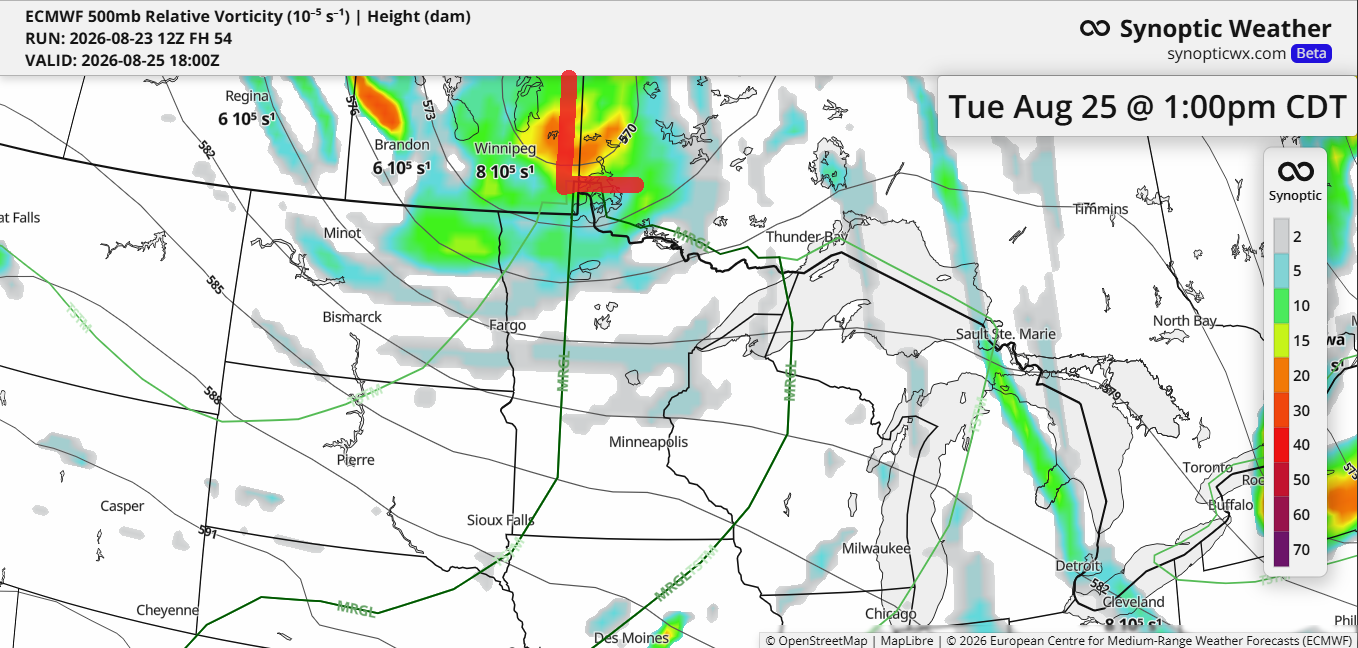
Rain chances return to the Northland on Tuesday, though coverage will be scattered, meaning some areas will see rain while others remain dry. This system is driven by a cold front and a low-pressure area tracking from Manitoba into Ontario, along with a mid- to upper-level low and trough moving southeast into the region.
Forecasts indicate sufficient moisture and atmospheric instability ahead of Tuesday’s system to trigger thunderstorms. Combined with stronger winds aloft and moderate wind shear, there is a low risk of strong to severe storms across northeast Minnesota and northwest Wisconsin, especially during the afternoon and evening. The primary hazards will be hail up to 1.5 inches in diameter (about ping pong ball size) and gusty winds of 40 to 60 mph.
Tuesday’s forecast calls for 0.05 to 0.25 inches of rainfall across northeast Minnesota and northwest Wisconsin, with heavier amounts possible in areas affected by thunderstorms.

Leave a Reply