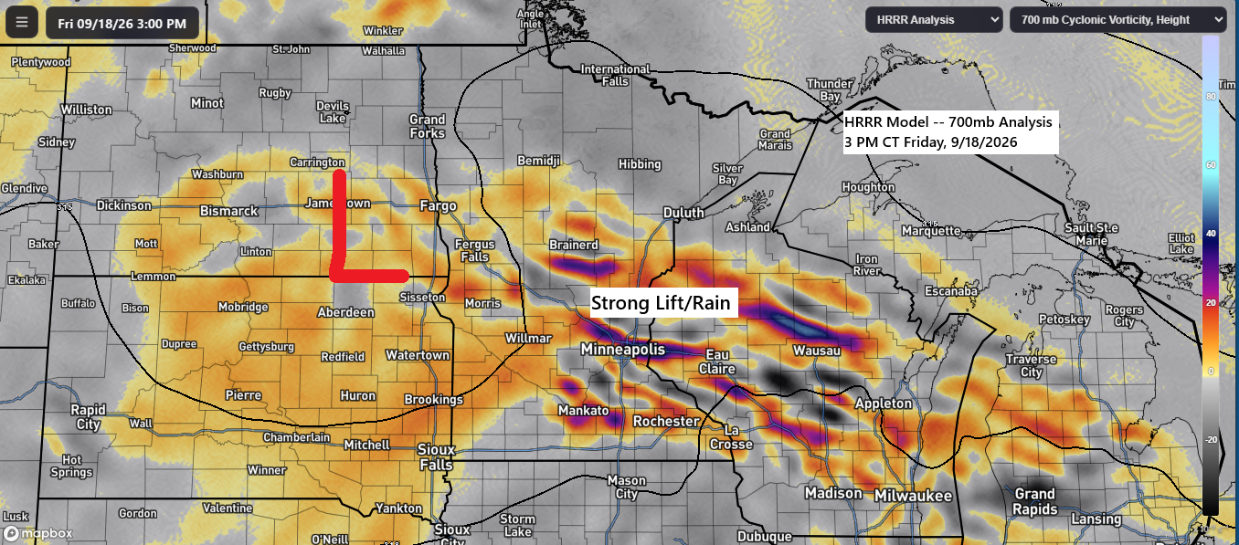
As expected, there was a sharp gradient in rainfall across the region today, with southern parts of the Northland experiencing some rain, while northern Wisconsin, northern Minnesota, and areas near Lake Superior remained dry.
The weather system responsible for today’s rain is expected to move southeast tonight, with lingering showers gradually tapering off from west to east across the southern areas.
Radar imagery for Friday, September 18, 2026, spanning 6:30 AM to 6:26 PM CT.

September 18, 2026 Rainfall Report – 6 PM Update
- Danbury, WI: 0.27″
- Grantsburg, WI; 0.25″
- Siren, WI: 0.24″
- Earl, WI: 0.23″
- Spooner, WI: 0.20″
- Winter, WI: 0.15″
- Minong, WI: 0.15″
- Willow River, MN: 0.14″
- Hayward, WI: 0.13″
- Moose Lake, MN: 0.09″
- Aitkin, MN: 0.03″
- Brainerd, MN: 0.03″
- Pine River, MN: 0.02″
- Clam Lake, WI: 0.01″
- Walker, MN: 0.01″
Note: After tonight, it looks like we will be entering a much drier pattern. In fact, the next chance of rain may not come until late next week or possibly the following weekend.
Expect another 0.05 to 0.15 inches of rain tonight in east-central Minnesota and parts of northwest Wisconsin, while areas farther north, including the Twin Ports, will likely see little to no rain or only trace amounts.

GOES-19 visible satellite loop from Friday, September 18, 2026, showing imagery from 1:40 PM to 4:35 PM CT.
With clouds covering the area and breezy easterly winds off Lake Superior, temperatures remained in the 50s near the lake, while inland northern Minnesota experienced mostly low to mid-60s, and northwest Wisconsin and east-central Minnesota saw temperatures ranging from the mid-50s to low 60s.
There is a chance for some sunshine to return to the Twin Ports this weekend, though the amount of sun remains uncertain. East winds will persist, keeping temperatures in the 50s and 60s on both Saturday and Sunday.

Leave a Reply