Category: Rainfall Reports
-

Flood Warning for the South Kawishiwi River near Ely; Crest Expected Friday Evening
Latest precipitation statistics for Duluth, Minnesota All the numbers are in the positive range, so precipitation in Duluth is looking good so far this year. We’ll see if that trend continues moving forward. Month to dateTotal: 3.66″Departure: +1.33″ Since March 1Total: 4.98″Departure: +1.19″ Since January 1Total: 7.02″Departure: +1.27″ ***Record rainfall…
-
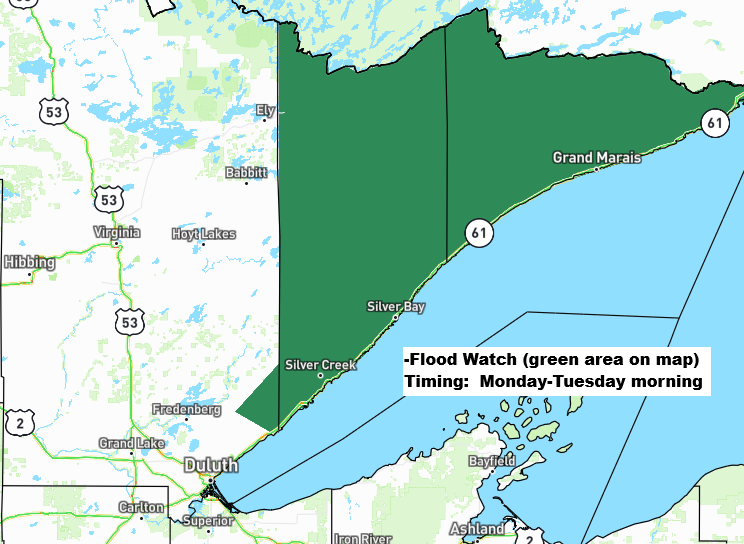
Rainy, Breezy Monday; Flood Watch North Shore
Widespread rain totals of about a half inch to an inch or more are expected in northeast Minnesota and northwest Wisconsin by late Monday night. This rain on already saturated soils in the Arrowhead of Minnesota and along the North Shore of Lake Superior may lead to excessive runoff and…
-

Flooding and Torrential Rain Hit Parts of the Northland (4/23–4/24/26)
The Arrowhead and North Shore regions, extending into northwest Wisconsin, saw some heavy rain from Thursday afternoon into early Friday morning. Several rounds of showers and thunderstorms moved over the same spots for a few hours, bringing rainfall totals of about 1 to 2 inches or more. Updated precipitation totals…
-

Storm Reports: Friday April 17, 2026
A busy Friday of severe weather, spanning from the upper Midwest to the central Plains, as a strong cold front pushes southeast through the region. Strong wind shear, fast upper-level winds, significant instability, and warm, humid air have all combined to trigger an outbreak of severe thunderstorms this afternoon. In…
-
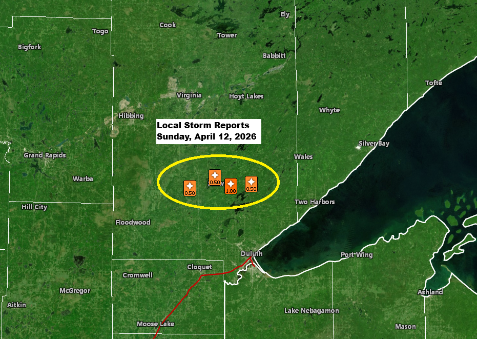
Local storm, rainfall, and temperature reports.
Late this afternoon, a single strong thunderstorm popped up near the warm front stretched across northeast Minnesota. This cell first appeared around 4:30 PM today near Hill City, Minnesota, before moving east-northeast. The storm hit peak intensity between about 6:00 and 6:45 PM, with cloud tops reaching around 40,000 feet…
-
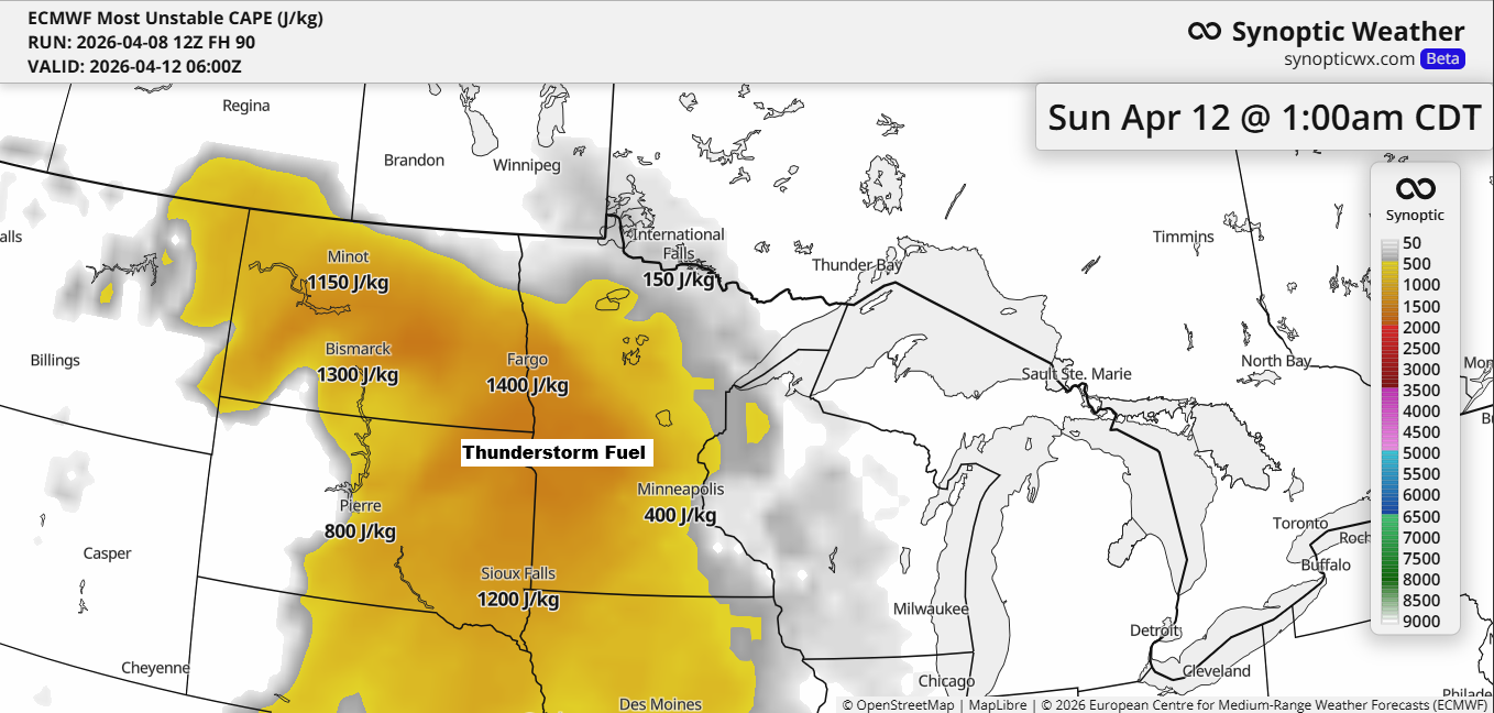
Breezy with scattered rain/snow showers tonight; weekend rain chances on the way
Thunderstorms are likely to move into the Northland this weekend, especially from Saturday night into Sunday. Elevated CAPE, indicating instability, is expected to increase from southwest to northeast, with moisture pushing north. Paired with a low-pressure system and its warm and cold fronts providing lift, this setup will bring occasional…
-
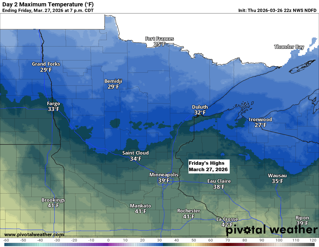
Scattered snow showers and a chilly Friday ahead
It’ll be chilly tonight and Friday, but things will start to warm up over the weekend. By Sunday, east winds will bring cooler air back to areas near Lake Superior, while inland spots will see highs in the 40s and 50s, with a few places possibly hitting the 60s. Tonight…