Tag: Duluth weather
-

Some rain on Friday; nice Saturday; rain chances return Sunday night and Monday
We’ve got some rain moving in on Friday thanks to a disturbance moving east out of the Dakotas while a cold front moves SE out of northwestern Minnesota. Should be enough lift and moisture to produce some rain at times in northeast Minnesota and northwest Wisconsin from Friday morning into…
-
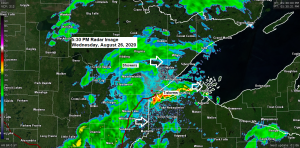
Some evening rain and thunder; mild but less humid on Thursday; Hurricane Laura Update
A cold front is working its way through the Northland this afternoon. Favorable ingredients are in place for thunderstorm development and even a few strong to severe storms late this afternoon over northwest Wisconsin with high amounts of CAPE, favorable wind shear and stronger winds aloft, but very warm temperatures…
-
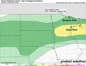
Gusty NE winds tonight; scattered showers/t-storms possible through Wednesday evening; Hurricane Laura update
Scattered showers and thunderstorms are expected to develop over parts of the Northland tonight into Wednesday morning as a warm front lifts north out of south-central Minnesota, while low level warm/moist advection takes place north of that boundary tonight. An area of strong instability ranging from 1500-3000 J/kg will lift…
-

Severe Thunderstorm risk south of the Northland later tonight; chances for storms increase across the Northland Tuesday night/Wednesday morning
It was a warm late summer day across the Northland today as highs topped out in the upper 70s to lower 80s which is roughly 5 to 10 degrees warmer than normal for August 24th. Tuesday looks like another mild day across the Northland with highs in the upper 70s…
-

Fog, smoke and rain chances over the next few days (greatest rain chances south and north of Duluth)
There hasn’t been a whole lot of change in the rainfall pattern this summer as western and southern parts of the Northland have seen above normal rainfall, while below normal rainfall continues near Lake Superior, in fact Duluth continues to run well below normal in rainfall this summer by nearly…
-

Cool NE wind with some drizzle and fog possible at times near Lake Superior tonight and Friday; warmer inland; chances for a few showers/t-storms through Saturday
A humid flow of air coming off Lake Superior will lead to areas of fog and mist near the lake tonight and possibly into Friday as well since the wind direction won’t be changing through Friday evening, in fact it looks like we could keep a NE wind going right…
-
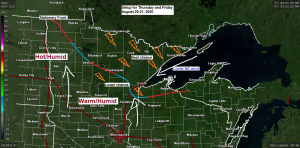
Humid with chances for a few showers/t-storms; a cooler lake breeze develops Thursday PM, lingers into Friday
A few strong to severe thunderstorms are possible in parts of the Northland through Friday with the greatest chance across northern Minnesota (north of Duluth) where a Marginal Risk of severe thunderstorms exists through Friday morning. Hail and gusty winds will be the main threats from the strongest storms along…