9:27 AM Sunday, June 16, 2024
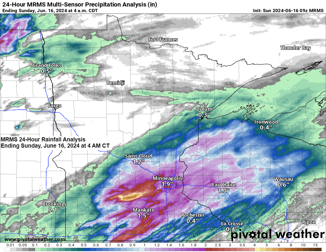
Northwest Wisconsin received between a half inch and nearly 1.50 inches of rain from Saturday evening to early Sunday morning. Areas further west, including Duluth, saw less rainfall, with totals just under a quarter of an inch.
Rainfall Reports from Saturday-early Sunday morning, June 15-16, 2024
Source: MesoWest; Cocorahs
1.4 S Ojibwa, WI: 1.49″
Minong, WI: 1.41″
10.2 ENE Gordon, WI: 1.29″
6 SW Webb Lake, WI: 1.26″
4.4 ENE Webster, WI: 1.23″
Barnes, WI: 1.17″
7 ENE Hertel, WI: 1.16″
4 SE Webb Lake, WI: 1.15″
1.2 W Solon Springs, WI: 1.04″
2.5 ESE Sarona, WI: 1.03″
Danbury, WI: 1.01″
0.6 SW Grantsburg, WI: 1.00″
Ashland, WI: 0.99″
Glidden, WI: 0.95″
Siren, WI: 0.85″
Solon Springs, WI: 0.84″
Hayward, WI: 0.73″
Washburn, WI: 0.68″
Cable, WI: 0.66″
Clam Lake, WI: 0.66″
Webb Lake, WI: 0.59″
Winter, WI: 0.56″
Spooner, WI: 0.53″
Hinckley, MN: 0.49″
Moose Lake, MN: 0.48″
Esko, MN: 0.47″
Poplar, WI: 0.44″
Superior Airport: 0.32″
Bay of Grand Marais, MN: 0.28″
French River, MN: 0.28″
Duluth Airport: 0.23″
Duluth Sky Harbor Airport: 0.22″
Schroeder, MN: 0.21″
Saginaw, MN: 0.19″
Two Harbors, MN: 0.16″
Hermantown, MN: 0.15″
Isabella, MN: 0.08″
McGregor, MN: 0.05″
Hibbing, MN: 0.03″
Eveleth-Virginia, MN: 0.03″
Grand Rapids, MN: 0.02″
Hill City, MN: 0.01″
Brainerd, MN: 0.01″
An area of showers and thunderstorms is moving east-northeast across the far northwest portions of the Northland, stretching from International Falls to Grand Rapids this morning. The rain is expected to exit or diminish by late morning.
Primarily dry weather is anticipated for Sunday afternoon; however, isolated to scattered showers and thunderstorms may redevelop later in the afternoon into the evening across parts of northeast Minnesota. This activity is expected to extend into northwest Wisconsin by evening, all associated with a southeastward advancing cold front.
The cold front moving through our area tonight will extend into southern Minnesota and transition into a warm front by Monday. This warm front is expected to gradually move northward across the Northland during Monday night. Additional showers and thunderstorms are anticipated from Monday into early Tuesday morning as a result of this warm front. Such conditions are conducive to heavy rainfall and potential flash flooding, particularly in regions that might experience multiple thunderstorm events on Monday and Monday night.
HRRR model simulated radar forecast valid from 10 AM Sunday morning to 7 AM Tuesday morning.

Northeast Minnesota and northwest Wisconsin are forecasted to receive additional rainfall of 1 to 2 inches or more through early Tuesday morning, with the majority occurring from Monday into Monday night.

The risk of flash flooding remains moderate across a large portion of central and northern Minnesota on Monday and into Monday night, with a slight risk extending to areas west and east of the moderate risk zone.


Thanks for reading!
Tim
Leave a Reply