5:47 PM Sunday, December 22, 2024.
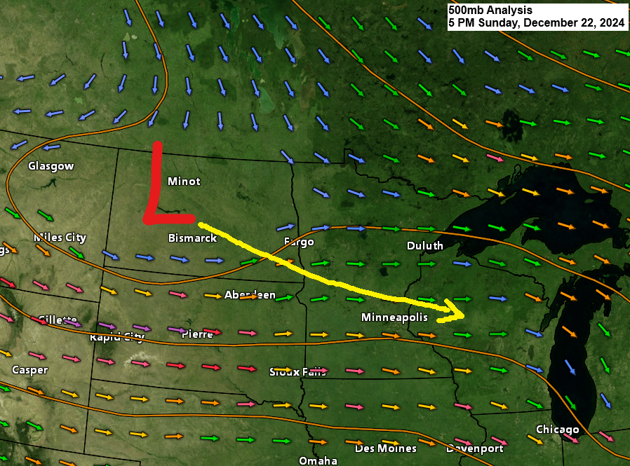
Areas of snow, along with freezing rain and sleet, have been affecting parts of North Dakota today as a disturbance moves southeast across the northern Plains.
Radar loop ends 5:02 PM CT Sunday, December 22, 2024.
Winter Weather Advisories are in effect for parts of the northern Plains and upper Midwest tonight and Monday due to a combination of wintry precipitation types.

The majority of the snow and mixed precipitation tonight and Monday is expected to affect parts of central and eastern Minnesota into central Wisconsin. Only the far southern portion of the Northland, primarily along and south of a line from Brainerd to Hayward, will be impacted by this system late tonight into early Monday.
Note: Northerly winds coming off Lake Superior may cause some light lake-effect snow along the South Shore of Lake Superior on Monday, but accumulations should be under an inch.
NAM 3km model simulated radar forecast through 6 PM Monday.

Parts of central Wisconsin, northern lower Michigan, and eastern upper Michigan are expected to receive the most snowfall with Monday’s system, with accumulations ranging from 1 to 3 inches, and higher totals possible in northern lower Michigan.

Only a few days left to take advantage of my Christmas special of $35 for an annual subscription to my blog; the regular price is $60, or you can go monthly for $5. Thank you.
With a paid subscription you get access to long range forecast discussions, as well as snowfall forecasts.

Subscribe to continue reading
Become a paid subscriber to get access to the rest of this post and other exclusive content.