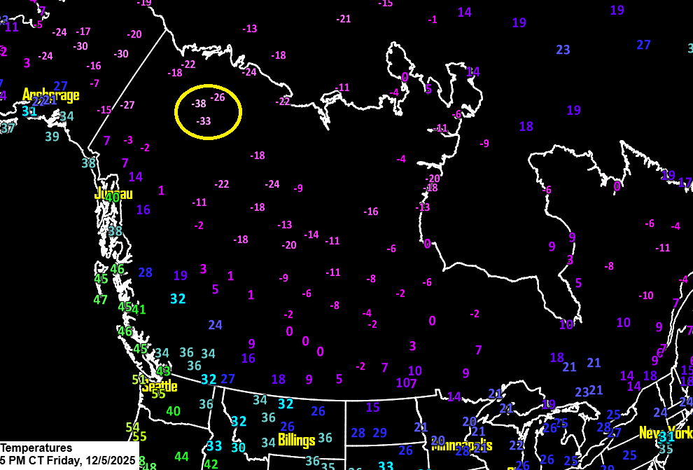
Colder temperatures are set to return to the Northland this weekend as we tap into more of the Arctic air mass blanketing much of Canada. Late this afternoon, temperatures were sitting at around -40 degrees at Fort Good Hope, located in the Sahtu Region along the Mackenzie River in the Northwest Territories.
Northeast Minnesota and northwest Wisconsin can expect temperatures between about -10 and 10 degrees above zero tonight, dropping to around -5 to -25 degrees Saturday night. Highs this weekend will mostly stay in the single digits to low teens above zero, though some areas of the Northland may not climb above zero on Sunday.
Winds this weekend won’t be very strong, but gusts of 10 to 20 mph on Saturday and Sunday will make it feel colder than it is.
Expect some scattered snow showers and flurries in parts of the Northland tonight and Saturday, but snowfall should stay under half an inch.
…An active clipper pattern expected this weekend and into next week…
The first system will bring a couple of inches of snow to parts of the Dakotas and southern Minnesota late tonight through Saturday. Then, another clipper is expected on Monday, likely tracking farther north, with a chance of snow in northeast Minnesota and northwest Wisconsin Monday into Monday night.
The most powerful clipper in the group could hit the Northland between next Tuesday and early Wednesday, and it’s looking to pack quite a punch. There’s a potential for several inches of snow and gusty winds in parts of the area during that period. Stay tuned.
Here’s the NAM 500mb forecast through 9 PM Monday, highlighting the different bundles of energy and snow-making systems, which show up in the more vibrant colors on the loop.

All 20 members of the GEFS ensemble model indicate a low for next Tuesday, but each places the low-pressure system in a different spot, which is pretty typical for a forecast more than three days out.
If the low moves through central Minnesota into central Wisconsin, as some models like certain GEFS members along with the European and Canadian predict, Duluth and other parts of the Northland could see several inches of snow—possibly more than 3—from next Tuesday into early Wednesday.
Snow – blue
Rain – green

There’s a good chance Duluth will get at least 2 inches of snow by next Friday, with 18 out of 20 GEFS members predicting that amount, and several showing around 6 inches or even a bit more.

Winter weather alerts are in effect Saturday across eastern South Dakota, southern Minnesota, northeast Nebraska, and much of Iowa.

RAP model simulated radar forecast valid 7 AM Saturday to 7 AM Sunday.

Snowfall accumulation predicted by the RAP model through 6 AM Sunday.

Make a one-time donation
Make a monthly donation
Make a yearly donation
Choose an amount
Or enter a custom amount
Your contribution is appreciated.
Your contribution is appreciated.
Your contribution is appreciated.
DonateDonate monthlyDonate yearly
Leave a Reply