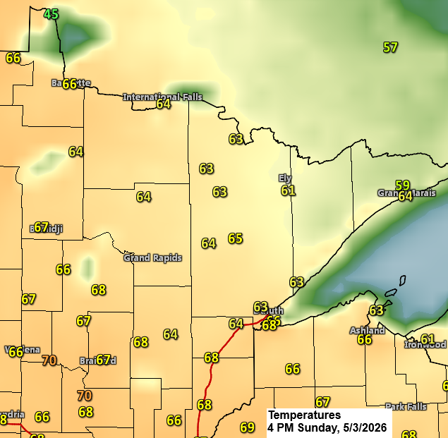
It was the warmest day yet this spring near Lake Superior, with temperatures soaring into the 60s and Superior along with the Duluth Harbor nearly hitting 70, topping out at a pleasant 68 degrees this afternoon.
Temperatures across the rest of the Northland hovered mostly in the 60s today.
Cooler weather is on the way, arriving on Monday, with the chilliest days expected in the middle of the week.
Monday’s highs will be coolest in far northern Minnesota, hovering around 40, with most of northwest Wisconsin and eastern Minnesota seeing temperatures in the 50s. From Tuesday through Thursday, highs will only reach the 30s and 40s across the Northland, which is well below average for early May.
A cold front will sweep through the Northland late tonight into Monday morning, bringing scattered showers mainly to northern Minnesota and the Arrowhead. Elsewhere in the region, including Duluth, expect just a few sprinkles or brief light showers early Monday morning.
No major weather systems bringing widespread precipitation are expected in the Northland over the next 5 to 7 days. However, a few passing showers of rain or snow may occur from Tuesday through Thursday, with little to no accumulation anticipated.
HRRR model simulated radar forecast through 9 AM Monday.

Rainfall tonight could range from just a trace up to about 0.10 inches, mainly in northern Minnesota.
Note: Duluth is likely to see little to no measurable rain from the passing cold front.

Leave a Reply