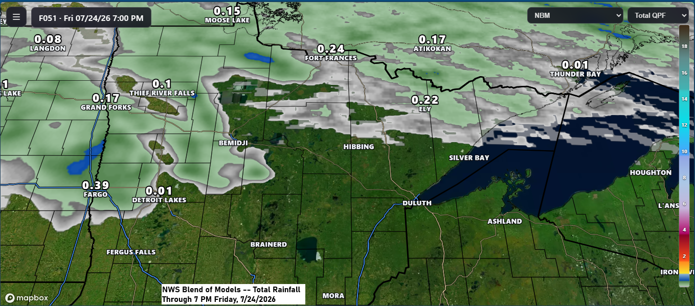
Aside from a few scattered showers and the possibility of an isolated thunderstorm in far northern Minnesota Thursday night into Friday, most of the Northland is expected to stay dry through Friday.
A few more showers or thunderstorms are possible this weekend, but they should be pretty scattered, with no widespread heavy rain expected.
From this weekend into next week, an upper-level ridge will be centered over the southwestern U.S., gradually expanding to the northeast, while an upper low over Hudson Bay, Canada, drifts slowly to the southeast.
Overall, the upper-level flow across the Northland will come from the northwest this weekend through at least the middle of next week, but some warmer air will drift north into our area as we sit on the far northern edge of the ridge.
Highs will mostly be in the 70s and 80s across northeast Minnesota and northwest Wisconsin from Thursday into early next week, with some spots possibly hitting the 90s this weekend and next Monday.
Dew points will be on the rise from Friday through the weekend, climbing into the 60s and possibly even reaching the low 70s.

It was a cool start to the day in the Northland, with temperatures falling into the 40s and low 50s, and at least three spots dipping into the upper 30s—Skibo hit 38, while Hayward and Hog Creek both recorded 39.
Temperatures on Wednesday morning, July 22nd, were the lowest since late June, between the 22nd and 26th.

There wasn’t much change in the fire situation in far northeast Minnesota until Tuesday evening, when we finally saw significant improvement in the fires.
- Bear Trap Fire: 29,682 — 34% contained
- Thumb Fire: 16,747 — 58% contained
- Sioux Fire: 12,355 — 17% contained
- Camp Fire: 4,402 — 23% contained
The Northland has seen only minimal smoke for the past several days, and that’s expected to hold through Thursday. By Friday, however, some higher-altitude smoke may start drifting east from the Dakotas, originating from fires in the northwest U.S. and western Canada.

Leave a Reply