Category: Tornado Emergency
-

Rainy at times through the middle of next week; Strong NE winds Sunday (gusts to 50 mph) Low chances for freezing rain/ice accumulations Sunday afternoon-evening along the North Shore of Lake Superior
6:31 PM Friday, April 26, 2024 An active storm track is established from the Rockies to the Upper Midwest. It’s fortunate that this weather pattern didn’t happen a month earlier; otherwise, we might have had sufficient cold air for these systems to generate snow or ice, potentially leading to snowfall…
-
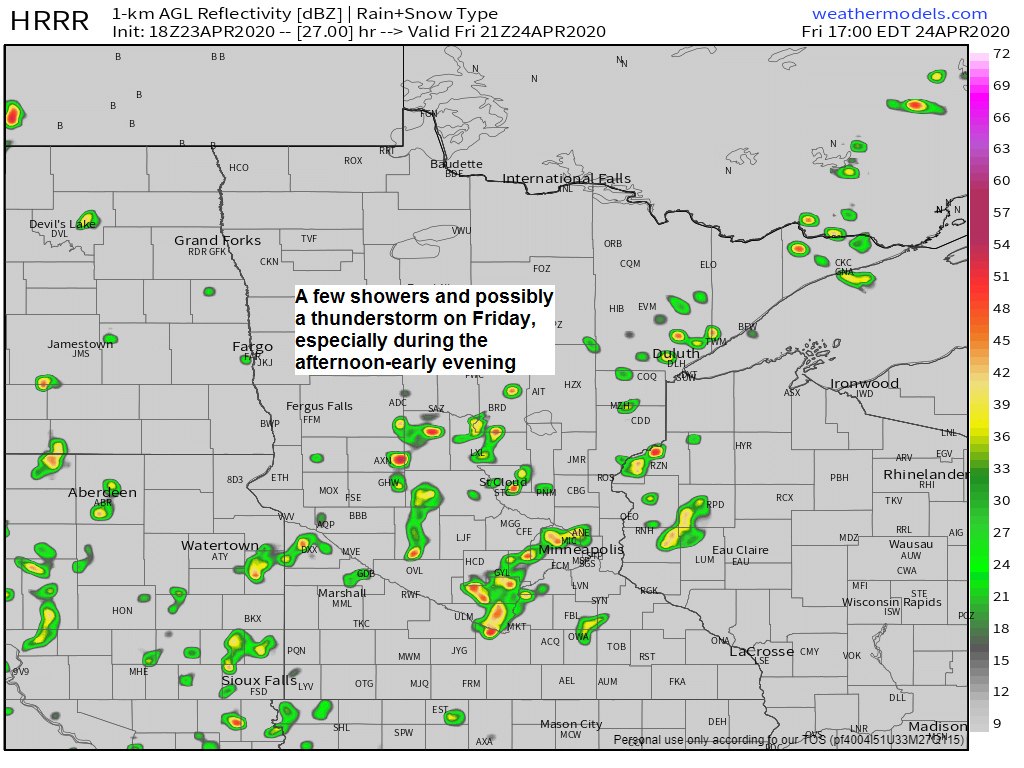
Lake wind diminishes Friday, but a stronger lake wind returns this weekend; few showers Friday; more rain chances early next week
-A few showers are possible in northeast Minnesota and northwest Wisconsin on Friday, but coverage of the showers should be fairly isolated, with several dry hours likely, and even some sun at times on Friday. -Computer models are generating some weak CAPE Friday afternoon while a pocket of steeper lapse…