Tag: lake effect snow
-

Record/Near Record Cold likely this weekend, overnight/early morning temps could approach -50 in northern Minnesota; arctic air lingers into early next week; 30s possible next weekend (Feb. 20-21)
…Record Low High Temperatures broken today, February 12, at Hibbing and International Falls, and tied at Duluth. Hibbing, MN: New record -9 F; old record 1 F set on 2/12/1967 International Falls, MN: New record -9 F; old record -8 F set on 2/12/1909 Duluth, MN: Tied the record low…
-

Bitterly cold – Wind chill headlines in effect thru Tuesday
High temperatures in the Northland today were some 20 to 30 degrees colder than normal for February 6 (normal highs on today’s date are right around 20 degrees above zero!). Duluth, International Falls, Brainerd and Hibbing all recorded a top 5 coldest high temp on record for February 6th –…
-
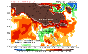
Mild temps continue with no major snow events through the middle of next week
Not a whole lot going on weather-wise in the Northland this week. Certainly not looking at any big snows or prolonged arctic air masses anytime soon, so our mild winter of 2020-2021 continues for now. About the only issue/s I see through midweek would be the potential for some fog…
-
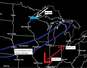
Light lake effect snow possible along the South Shore Friday afternoon-Saturday
An area of low pressure will continue to develop over the Southern Plains over the next 24 hours. This system will then lift to the NE, reaching the Detroit area by Saturday evening. Warm air out ahead of this low, with colder air (not that cold though) behind the low,…
-
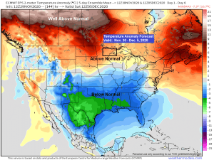
Dry week ahead; cool start to the week, warming up late in the week (40s?)
A generally quiet weather pattern continues across the Northland this week and probably into next week as well, although there are some signs showing up in model guidance that the pattern will start to turn a little more active around here starting around mid-December, but that is still a ways…
-
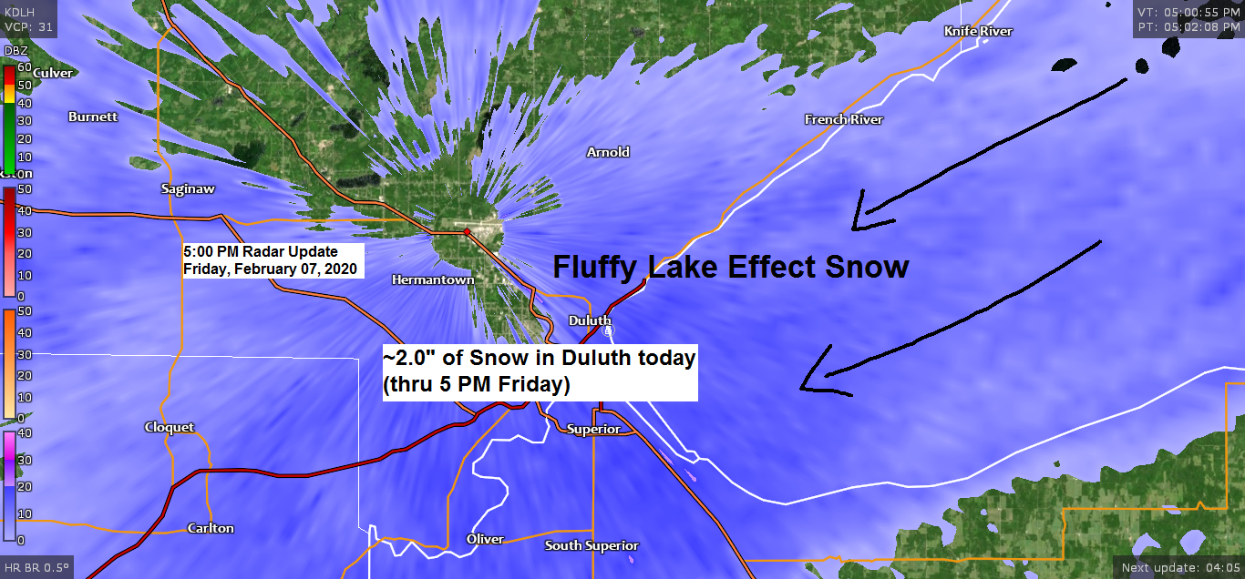
Fluffy lake effect snow showers continue tonight near Lake Superior; dry weekend ahead; brief arctic shot possible late next week
Snowfall Totals from Friday, February 7, 2020Source: https://www.weather.gov/dlh/ 1 ENE Silver Bay, MN: 5.5″3 E Finland, MN: 5.0″Wolf Ridge, MN: 4.0″1 W Silver Bay, MN: 3.8″Silver Bay, MN: 3.8″14 W Isabella, MN: 3.5″4.4 WSW Grand Marais, MN: 2.9″Grand Marais, MN: 2.0″Duluth Airport: 1.9″ (total thru 5 PM Friday)25 E Ely,…
-
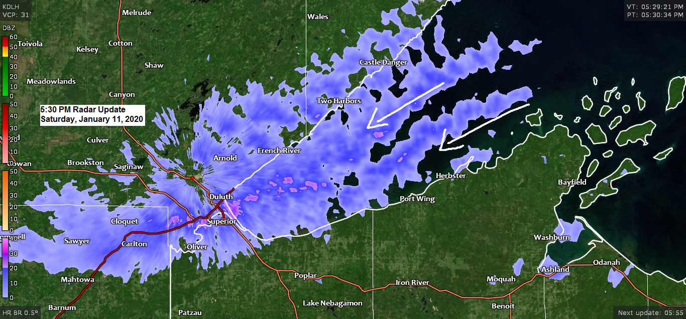
Snow showers and patchy blowing snow continues tonight near Lake Superior; some light snow possible Sunday night; more snow possible Monday night-Tuesday
Cold northeast winds blowing over the open waters of Lake Superior is picking up moisture which is causing lake effect clouds and snow showers today along the South Shore and North Shore of Lake Superior. Note: Less than 1% of Lake Superior is ice covered as of Saturday morning so…