Tag: severe thunderstorm watch
-

A risk for strong to severe thunderstorms and heavy rain tonight; Record Warmth in the Northland today; Still warm but turning less humid Tuesday
6:54 PM Monday, June 20, 2022 Very humid and warm conditions tonight with a risk for strong to severe thunderstorms. Warm weather continues Tuesday although not the extreme heat that we’ve seen the last few days. Tuesday will start out on the muggy side, but a much drier air mass…
-
Severe Thunderstorm Watch issued for parts of the Northland
7:28 PM Thursday, May 12, 2022 Strong to severe thunderstorms are possible in the Northland tonight with the greatest threat for severe weather expected to remain in southwest parts of the Northland including the Brainerd Lakes area. Primary threats from severe storms tonight are from damaging winds of 60 to…
-
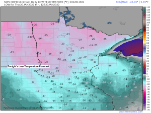
Frigid through Thursday night; A little warmer Friday with some snow Friday night; More shots of arctic air likely next week
5:08 PM Wednesday, January 19, 2022 A frigid air mass has moved into the upper Midwest today behind Tuesday’s clipper low, which was over Quebec late this afternoon, meanwhile we have a severe thunderstorm watch covering portions of east Texas, Louisiana southern Arkansas, and western Mississippi until 7 PM this…
-

Severe Thunderstorm Watch issued for parts of the Northland
A Severe Thunderstorm Watch (yellow area on map) has been issued for portions of the Northland until 2 AM Sunday. This watch includes the cities of Cass Lake, Walker, Leader and Brainerd. Primary threats include -Scattered damaging winds likely with isolated significant gusts to 75 mph possible.-Scattered large hail and…
-
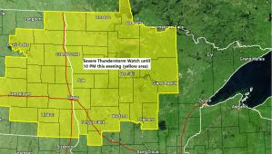
Severe Thunderstorm Watch issued for parts of the Northland
3:30 PM Friday, 8/20/2021 A severe thunderstorm watch has been issued for northern Minnesota and eastern North Dakota until 10 PM this evening. For the Northland this watch includes the counties of Koochiching, Itasca, Cass and Crow Wing, and the cities of International Falls, Bigfork, Grand Rapids, Cass Lake, Walker…
-

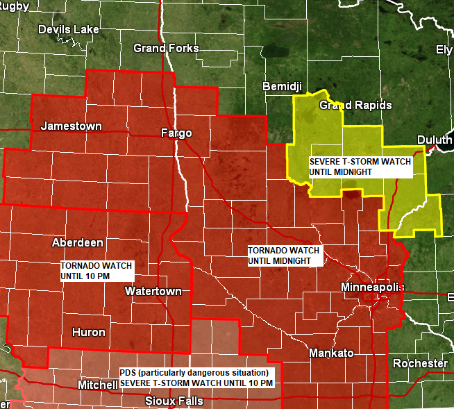
Severe Thunderstorm Watch issued for parts of the Northland until Midnight tonight
5:48 PM Monday 7/26/2021 A Severe Thunderstorm Watch has been issued for parts of northeast, north-central and east-central Minnesota. This watch is in effect until Midnight tonight. Primary threats include Scattered large hail and isolated very large hail to events to 4 inches in diameter likely (grapefruit size) Scattered damaging…
-
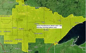
Scattered showers/t-storms tonight (a few strong-severe storms possible) Very warm, breezy and dry this weekend with near- critical fire weather conditions
A Severe Thunderstorm Watch has been issued for northern Minnesota and western Lake Superior until 1 AM Saturday morning (yellow area on map) Some cities in the Northland that are included in this watch are…International Falls, Bigfork, Grand Rapids, Cass Lake, Walker, Longville, Crane Lake, Orr, Ely, Hibbing, Duluth, Isabella,…