Tag: lake effect snow
-
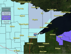
Bitterly cold this weekend, windy weather continues tonight with lingering lake effect snow along the South Shore; Another clipper on the way Sunday night with a little snow
5:38 PM Friday, February 11, 2022 WIND CHILL WARNING in effect from 9 PM this evening to 10 AM Saturday including the cities of Hibbing, Virginia, Hoyt Lakes, Ely, Tower, Cook, Orr, Crane Lake, Isabella, Tofte, Lutsen and Grand Marais. Wind chills as low as 45 below zero. WIND CHILL…
-

Windy and turning colder! Areas of blowing snow tonight with lingering snow showers and flurries; South Shore Lake Effect Snow late tonight into Wednesday
5:18 PM Tuesday, January 18, 2022 The official snowfall total in Duluth from today’s clipper was 1.9 inches, this brings our monthly total to 14.9″ which is +4.7″ above normal to date. Our annual snowfall total for the winter of 2021-22 is at 46.4″, this is +0.6″ above normal to…
-
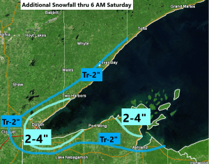
Lake effect snow continues tonight
4:50 PM Friday, January 14, 2022 Lake effect snow has been piling up along portions of the North Shore of Lake Superior today with a favorable setup in place to support this lake effect snow today. The Duluth Airport has picked up 4.2″ of snow thru 4 PM today, but…
-
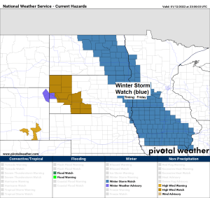
A little snow tonight; Lake Effect Snow possible along the North Shore Friday; More snow chances early next week
5:30 PM Wednesday, January 12, 2022 Several snow chances ahead, but no major winter storms are expected to hit the Northland through most of next week Subzero low temperatures are possible in northern Minnesota Friday morning, and area-wide Saturday morning More shots of arctic air possible middle of next week…
-
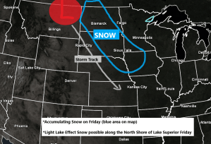
Some snow possible Wednesday night; Lake Effect Snow possible along the North Shore Friday
5:10 PM Tuesday, January 11, 2022 Two clippers through Friday. One hits us, the other misses us. The first clipper (weaker of the two) moves through the Northland late Wednesday night/Thursday morning bringing a little snow to much of northeast Minnesota and northwest Wisconsin, but accumulations should only range from…
-

Bitterly cold tonight; A little snow Friday night; Blustery weekend ahead with more arctic air arriving on Sunday
5:11 PM Thursday, January 6, 2022 Tonight, will be bitterly cold across the Northland with lows in the 20s and 30s below zero with a chance for a few 40s below in the typical cold spots. Very cold temperatures will stick around Friday with highs only in the single digits…
-

A mild Christmas Eve ahead (highs near 40 in parts of the Northland) Snow chances Christmas Day, Sunday PM-Monday and again mid to late next week
Widespread accumulating snow is possible in the Northland from Sunday afternoon through Monday, in addition to the system snow, an easterly wind coming off Lake Superior may lead to some heavier lake enhanced snow Sunday night and Monday along the North Shore of Lake Superior where snow totals of 6″+…