Tag: Duluth weather
-
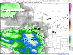
Pleasant weather tonight and Wednesday; rain chances increase late in the week
Mild temperatures continue across the Northland on Wednesday with highs in the mid 70s to mid 80s. Looks like will have a few more clouds on Wednesday compared to the abundant sunshine we saw on Tuesday, and there is also a chance for a few showers on Wednesday, mainly over…
-
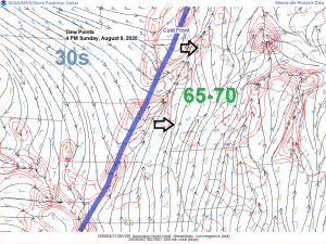
Scattered showers and t-storms possible tonight; mild and less humid Monday and Tuesday
The atmosphere has been worked over quite a bit over northeast Minnesota due to all the clouds, rain and storms today which is lessening the chances that we see another round of strong storms in northeast Minnesota tonight as a cold front moves SE through the area. Computer models disagree…
-
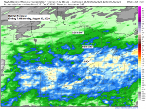
Scattered strong to severe thunderstorms possible across portions of the Northland through late Sunday evening
A few rounds of strong to severe thunderstorms could affect portions of the Northland from late tonight through late Sunday evening. A cold front will be stalling out tonight somewhere across central Minnesota into northern Wisconsin, this boundary will then lift NNE as a warm front on Sunday while we…
-
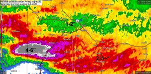
Rainfall and Storm Reports from around the Northland
Strong thunderstorms producing vivid lightning and torrential rainfall impacted much of northeast and east-central Minnesota into northwest Wisconsin early Saturday morning with as much as 6 inches of rain reported in a corridor from Kettle River to Barnum south to Moose Lake. Over 600 Lake Country Power members are without…
-
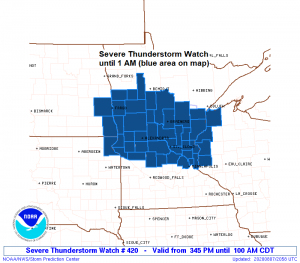
Update on Tonight’s severe weather and heavy rain potential
4:08 PM Friday – A Severe Thunderstorm Watch has been issued for portions of central Minnesota, southeast North Dakota, northeast South Dakota and northwest Wisconsin effective this Friday afternoon and Saturday morning from 3:45 PM until 1 AM. Primary threats include Scattered damaging wind gusts to 70 mph likely Scattered…
-

Mesoscale Discussion for severe weather potential issued for parts of the Northland, watch possible
2:40 PM Friday, August 7, 2020 – A Mesoscale Discussion has been issued for northern and central Minnesota, portions of far eastern North Dakota and extreme northeast South Dakota with a 60% chance that a watch will be issued by 5 PM per update from the Storm Prediction Center. Link…
-

Turning more humid the next few days with a chance for a few showers/t-storms
A more typical summer time pattern returns the next few days. Dew points will be on the rise on Friday, with muggy conditions possibly continuing through Sunday, especially across southern areas. Dew points on Friday are forecast to climb into the 60s area-wide, then on Saturday will see dew points…