Tag: hot
-
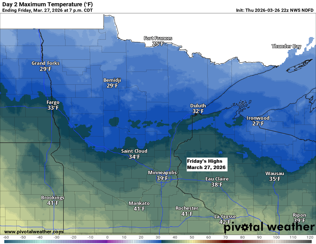
Scattered snow showers and a chilly Friday ahead
It’ll be chilly tonight and Friday, but things will start to warm up over the weekend. By Sunday, east winds will bring cooler air back to areas near Lake Superior, while inland spots will see highs in the 40s and 50s, with a few places possibly hitting the 60s. Tonight…
-
Duluth Airport Hits 90 Degrees on July 27, 2024: First Time Since September 2023
11:28 AM Sunday, July 28, 2024 High Temperature Reports from July 27, 2024 Brainerd, MN: 94Duluth Sky Harbor Airport: 91Bigfork, MN: 91Grand Rapids, MN: 91Pine River, MN: 91Moose Lake, MN: 91Superior, WI: 91Solon Springs, WI: 90Siren, WI: 90Duluth, MN (Airport) 90Walker, MN: 90Ely, MN: 90Orr, MN: 90Cook, MN: 90Crane Lake,…
-
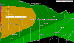
A few strong to severe thunderstorms possible in northern Minnesota late tonight-Tuesday morning; warm and more humid the next few days (cooler near Lake Superior) Additional chances for a few showers/t-storms thru Friday
There is a chance for some severe weather late tonight across northern Minnesota. The main hazard is from damaging wind gusts to 60 mph, with a lesser chance for hail to quarter size (1″ diameter) The risk for thunderstorms and possibly a few severe thunderstorms is greatest north and northwest…
-
A few showers possible tonight and Thursday; turning hot Friday through Sunday, but much cooler near Lake Superior on Friday
Some parts of the Northland will likely get a little rain at times tonight and during the day Thursday (see sim radar forecast below) as we remain under a northwest flow aloft. Isolated thunderstorms are possible as well mainly on Thursday, but the amount of instability, moisture and wind shear…
-
Hot weather on the way late this week into this weekend with record/near record warmth possible; Isolated showers/t-storms Wednesday and Thursday, but overall a dry pattern thru this weekend
Things are still on track for the first big heat wave of the summer to arrive late this week, but first Wednesday and Thursday will feature high temps in the 70s to lower 80s in the Northland, with some mid 80s possible on Thursday. Note: A lake wind is possible…
-

Frost/Freeze potential the next few nights; rain chances late this week; warmer temps possible next week
A ton of weather to talk about ranging from fires and record heat to snow and record cold, oh and also some frost/freeze stuff as well – I’ll break it all down the best I can. …Frost/Freeze Information… -Frost Advisory in effect from Midnight tonight to 8 AM Tuesday including…
-
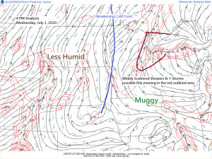
A few storms this evening; mainly dry and very warm Thursday and Friday
A weakening cold front over western Minnesota late this afternoon along with some convergence ahead of this front combined with a very humid, warm and unstable air mass will be enough to develop a few showers and thunderstorms through this evening across northeast Minnesota and northwest Wisconsin. No severe weather…