Tag: wind chills
-
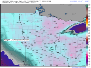
Bitterly cold tonight; Windy and milder Wednesday with a little snow possible Wednesday night; Blustery and colder Thursday; Snow mid/late next week?
5:49 PM Tuesday, January 25, 2022 It’ll be another frigid night in the Northland under mainly clear skies. Lows will be in the teens, 20s and 30s below zero. Will see warmer temperatures on Wednesday, but to go along with these warmer temps will be a gusty southerly wind which…
-
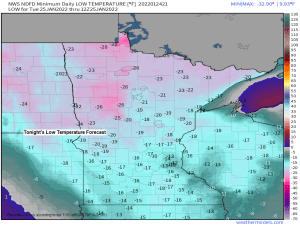
Frigid through Wednesday morning; Windy with a little snow possible Wednesday evening/night more cold air to follow
4:54 PM Monday, January 24, 2022 Another round of bitterly cold temperatures along with frigid wind chills will affect the Northland through Wednesday morning, this will be followed by a brief warmup Wednesday afternoon/night, but a gusty S-SW wind (15-30 mph) will likely accompany these warmer temps. More cold air…
-
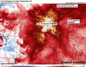
Blustery! Snow tonight; Frigid Saturday night; Another shot of snow Sunday afternoon-early Monday morning, more arctic air to follow
5 PM Friday, January 21, 2022 Temperatures are running over 30 degrees warmer at 4 PM today (Friday) compared to 4 PM Thursday in parts of eastern North Dakota with late Friday afternoon temperatures up around 30 degrees! A narrow band of snow stretching from northeast to southwest Minnesota continues…
-

Windy and turning colder! Areas of blowing snow tonight with lingering snow showers and flurries; South Shore Lake Effect Snow late tonight into Wednesday
5:18 PM Tuesday, January 18, 2022 The official snowfall total in Duluth from today’s clipper was 1.9 inches, this brings our monthly total to 14.9″ which is +4.7″ above normal to date. Our annual snowfall total for the winter of 2021-22 is at 46.4″, this is +0.6″ above normal to…
-

A little snow possible Monday; A stronger clipper arrives Tuesday with some accumulating snow, arctic air to follow
4:01 PM Sunday, January 16, 2022 A frontal boundary draped over the Northland combined with a weak area of low pressure moving along this boundary may bring just enough lift to squeeze out a little snow from time to time during the day Monday, but snowfall amounts are expected to…
-
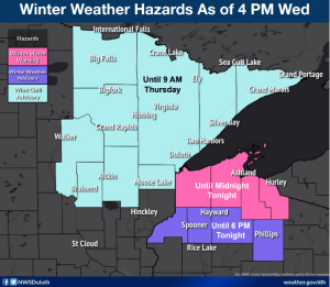
Arctic air moving in while portions of the South Shore of Lake Superior continue to see heavy lake effect snow through Thursday; A burst of snow Friday night; A brief warmup Saturday, more arctic air early next week
5:45 PM Wednesday, January 5, 2022 Winter storm moving out, arctic air moving in! Portions of the South Shore of Lake Superior in northwest Wisconsin will continue to be crushed by heavy lake effect snow into Thursday, this will impact parts of northern Douglas, Bayfield, Ashland and Iron Counties tonight,…
-
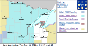
Arctic blast through this weekend, warming trend early next week; Some snow possible Friday for eastern MN into parts of northwest WI
A Wind Chill Advisory is in effect from 6 PM Friday to Noon Saturday for much of the Northland including all of northeast, east-central and north-central Minnesota, and parts of northwest Wisconsin including the cities of International Falls, Bigfork, Grand Rapids, Cass Lake, Walker, Pine River, Brainerd, Hill City, Aitkin,…