Tag: wind chills
-
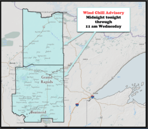
Arctic Air on the way!
The pattern ahead will turn less snowy but a lot colder in the Northland with the period from Friday night through Sunday looking particularly cold! -A Wind Chill Advisory is in effect from Midnight tonight through 11 AM Wednesday for parts of north-central and east-central Minnesota including the cities of…
-
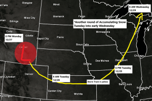
Another round of accumulating snow on the way for Tuesday-Tuesday night
5 PM Monday, December 27, 2021 Our winter storm from last night and today will continue to wrap up this evening with a brief break in the snow expected overnight into early Tuesday, but this break won’t last long as will see another round of snow move NE across the…
-

A few showers tonight; scattered showers/t-storms Monday, warmer and more humid (much cooler near Lake Superior)
A warm front will be lifting north/east out of southern Minnesota and into the Northland by Monday afternoon-evening. A few showers are possible well north of this boundary tonight, followed by a risk for scattered showers and thunderstorms on Monday, with the greatest chances from east-central Minnesota into northwest Wisconsin.…
-
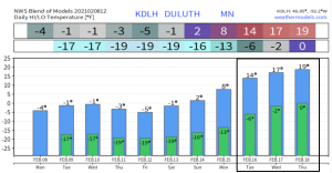
Bitterly cold! Wind Chill headlines in effect for much of the Northland thru Sunday, February 14
Temperatures will remain well below normal in Duluth at least thru early next week, but we may begin to climb out of this arctic air mass starting around the middle of next week or after February 15, but even that isn’t a lock since it’s so far out in model…
-
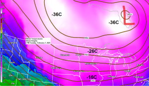
A frigid and dry week ahead
Daytime highs will generally range from around 10 below to 5 above zero in northeast Minnesota and northwest Wisconsin on Monday, Tuesday and Wednesday while overnight lows will be in the teens, 20s and 30s below zero. No widespread snows in our area this week, although there could be a…
-

A mix of freezing drizzle and snow possible Wednesday night-Thursday, winter storm watch issued for parts of northwest Wisconsin; arctic blast on the way this weekend into next week
A complex setup on the way for Thursday with the computer models pretty much in two camps today, one camp paints a rather snowy picture for eastern Minnesota and northern Wisconsin for Thursday, while the other camp keeps the bulk of the snow farther east affecting central/eastern Wisconsin and upper…
-
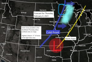
Some snow possible Thursday; arctic blast this weekend into early next week with wind chill advisories/warnings likely
Snow chances return to northeast Minnesota and northwest Wisconsin on Thursday, and there is even a chance for some patchy freezing rain/freezing drizzle in parts of the area before precipitation goes over to snow. Note: Another thing to keep an eye on is the potential for a ‘flash freeze’ in…