Tag: record warm lows
-
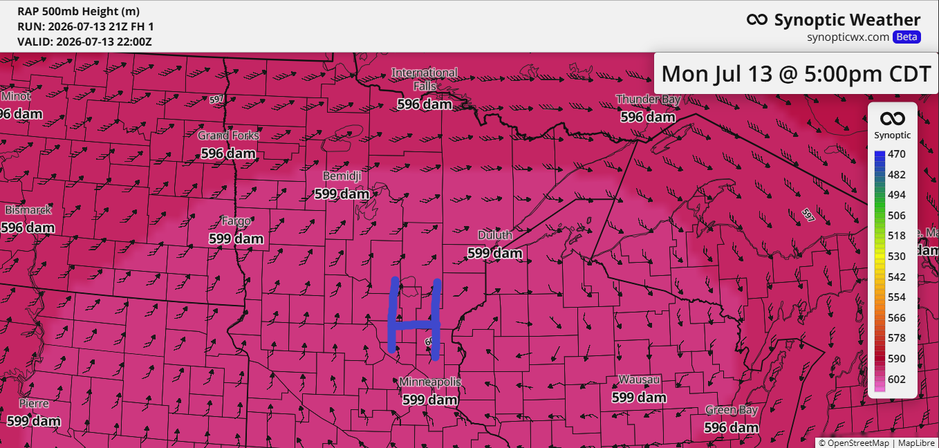
Northland Heat Wave, BWCA Fire Growth and Smoke Risk This Week
Today’s blog will take a bit longer to read, about five minutes, as there’s plenty of weather to cover, including fires and heat across the Northland. As expected, the ridge over the upper Midwest has reached near-historic levels for this far north, with the RAP model indicating 500mb heights hitting…
-
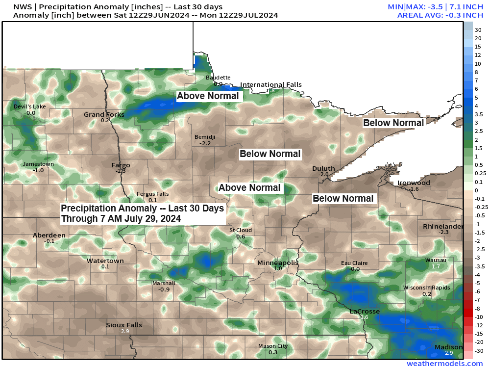
Northland Weather Update: Record High Temps and Rainfall Anomalies – July 29, 2024
5:20 PM Monday, July 29, 2024 Today, Monday, July 29th, is the fifteenth day of the month that Duluth has seen temperatures reach at least 80 degrees. If the temperature hits 80 degrees on both Tuesday and Wednesday, it will increase the count of 80-degree days to seventeen for this…
-

Rain chances return Tuesday night; More showers possible Thursday-Friday; A warm start to the week followed by a brief cooling trend; Record Warmth in the Northland today; September 2023 Climate stats
6:24 PM Sunday, October 1, 2023 The next few days look dry in northeast Minnesota and northwest Wisconsin, but some rain is possible late Tuesday afternoon through Tuesday night as a trough and cold front move northeast out of the Dakotas. At the moment it looks like the greatest amounts…
-
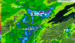
Rainfall Reports from Saturday, October 2, 2021
24 Hour Rainfall Reports from around the Northland Totals listed below are thru 6 PM Saturday, October 2, 2021 Hinckley, MN: 1.16″Barnes, WI: 0.79″Moose Lake, MN: 0.66″Walker, MN: 0.63″Cloquet, MN: 0.63″Two Harbors, MN: 0.56″Siren, WI: 0.51″Saginaw, MN: 0.46″Cass Lake, MN: 0.44″Seagull Lake, MN: 0.37″Grand Rapids, MN: 0.34″Hill City, MN: 0.30″Eveleth-Virginia,…
-
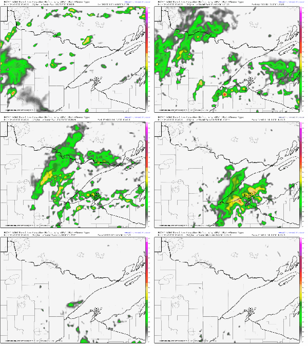
Mild temps continue! Overcast with areas of rain tonight-Saturday night
A very sluggish weather pattern is in place right now with no real change in the pattern expected through this weekend. A broad upper level trough will remain over the upper Midwest through Sunday, but the amount of lift/forcing with this trough isn’t very strong, and is also fairly disorganized,…
-

Cooler lake wind on the way for Friday, still mild inland. Scattered showers/t-storms Friday into Saturday
Some more rain is on the way! Isolated to widely scattered showers or thunderstorms are possible in parts of the Northland on Friday with a better chance for scattered showers or thunderstorms Friday night into Saturday. Note: The greatest rainfall amounts with this next system are forecast to be over…
-

Less humid weather on the way for Thursday; turning more humid again Friday-Saturday; rain chances return Friday night-Saturday
We’re certainly at the time of the year where we could easily be talking about frost and freeze headlines in the Northland, but that hasn’t been the case so far this September. Record warmth was reported in parts of the Northland on Tuesday with International Falls, Brainerd and Ashland setting…